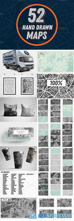
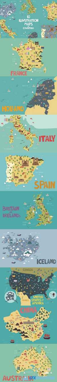
10 Illustration maps 1383786
EPS PNG | 26 MB RAR
Hand drawn map of France, Holland, Italy, Spain, Britain, Ireland's, Iceland, USA, China and Australia. Maps contain the main attractions of the countries and the main names of cities. This set is perfect for designing posters for tourist booklets, emblems for T-shirts, bags, cups, label, sticker and others.
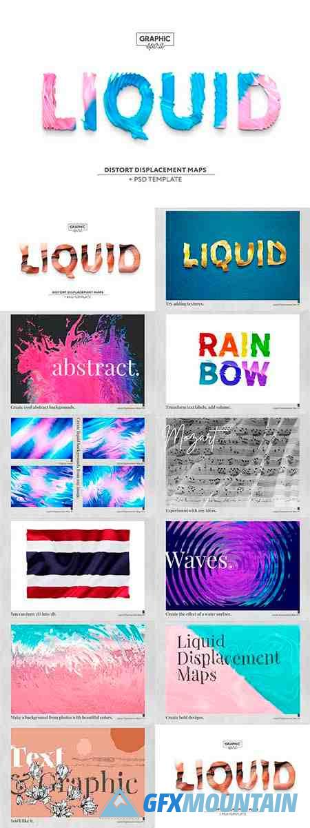


 - 5028026")